Initiative uses technology for miner safety
“Every day, thousands of mineworkers report for duty and shortly afterwards disappear into the underground workings,” said Professor Fred Cawood of the Wits Mining Institute. “Once underground, it is hard to protect them from harm because we don’t know what risks they are exposed to – or where and when those risks occur. At the end of the shift, they return – and this is the first time we can check that they are all back safely.”
Cawood said this situation was not good enough to pursue a zero harm objective.
“The way to overcome this problem is, firstly, to accurately locate workers relative to machines, excavations and other typical mining risks in real time,” he said, “and secondly, to communicate directly with them should they find themselves in harm’s way.”
Geospatial informatics research
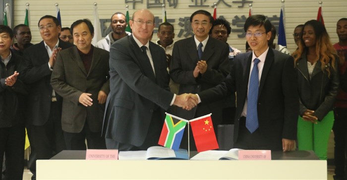
This initiative, known as the Joint International Research Laboratory of China-Africa Mining Geospatial Informatics, is a step toward realising the vision of being a world-leading laboratory with networks to mining in China and Africa, with an initial focus on mining geospatial informatics research.
Underway since January 2013, the collaboration researches underground communication systems, risk measurement through sensors, risk modelling and prediction of harm.
According to CUMT president, Professor Shirong Ge, his institution’s long history of cooperation with Wits and other African countries (including Mozambique, Togo, Botswana and the Comoros) laid a strong foundation for the initiative. Geospatial technology in China has achieved a leading global position after decades of development – as did the BeiDou navigation satellite system.
“Universities like ours have the responsibility to introduce these advanced technologies to the international market,” he said “I believe that this new laboratory will contribute to the application of these technologies, and promote the economic, social and technological development of both Africa and China.”
Key themes and activities of the joint laboratory include:
- Geospatial positioning, including research on China's GNSS plan and indoor positioning systems, and possibly building a BeiDou data analysis centre and monitoring stations in Africa;
- Mobile and underground platforms, including position, navigate and time (PNT), extension of indoor to underground positioning systems, and multi-sensor positioning and navigation systems;
- Digital mining, including ground, environmental and other mine risk monitoring for mine safety, operational efficiency and mineral resource management;
- Mining and geospatial software development and application, including the development of risk maps; and
- Education and training for African countries, including technology development and application courses.
Solutions for mining problems in Africa
According to Cawood, the work of the joint laboratory will benefit both China and Africa, as they work together on a range of solutions for the many mining challenges and problems in Africa.
“Perhaps our biggest opportunity is in the long-term, where we can work on 21st century mining education and skills for African countries – to ‘leapfrog’ our current technology gap in this area,” he said. “This will give Africans the capacity to manufacture, install and maintain technology solutions developed and designed in this joint laboratory.”