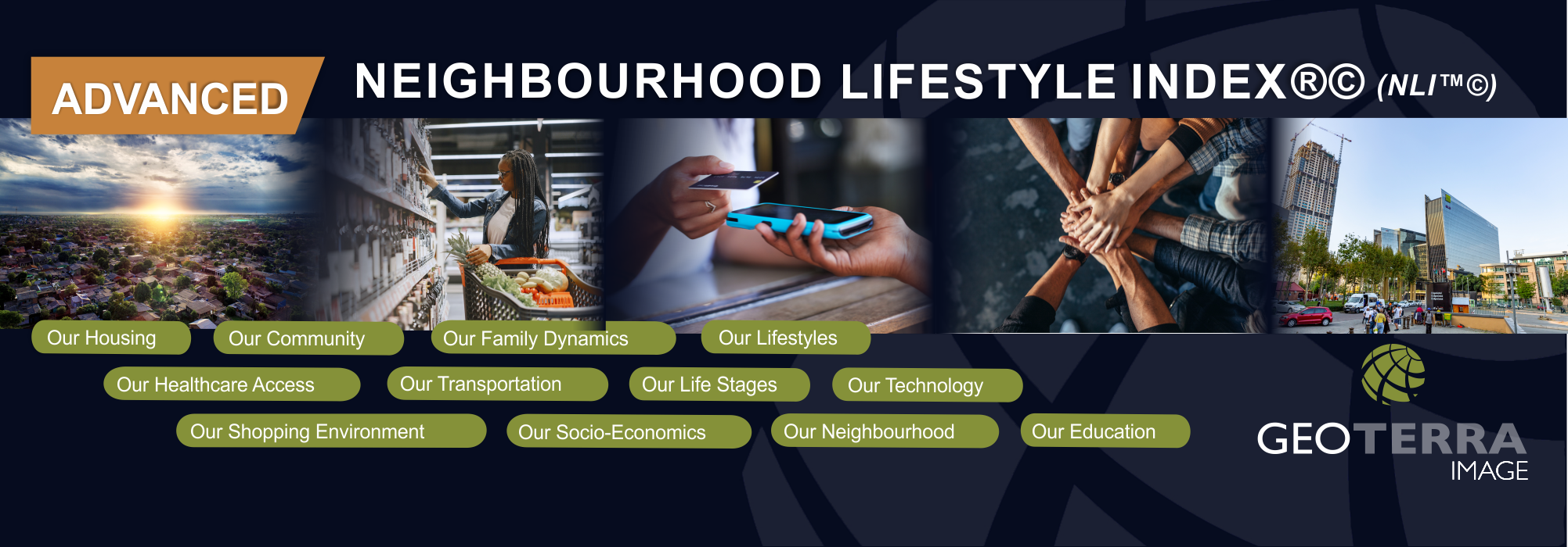
GEOTERRA IMAGE provides industry specific information through innovative products and solutions to support a wide range of sectors. This is achieved via specialist software, propriety algorithms and application experience and deep analytic processes. We transform remotely sensed data (satellite imagery) into spatial information that is then enriched with supplementary data from a variety of data sources, to provide unmatched insights on almost all human activity. We provide Big Data that can be visually integrated into map-based products as well as industry specific data and insight solutions combined with advanced reporting tools, allowing users to analyse, quantify and track / project trends in human activities as well as track human lifestyle levels by geographic area. Our products are updated regularly providing an exceptionally accurate business intelligence tool, key to accurate decision making. |